Kart is now available as a QGIS plugin. Work with version controlled data directly within your desktop GIS – see your data history, commit incremental changes and create and merge branches with ease.
Archive: Qgis-plugins
- The MapFlow plugin for QGIS provides AI models for automatic feature extraction from satellite imagery, including building footprints, roads, fields, forest and construction sites.
- QGIS GeoNode plugin, that allows working with and managing GeoNode resources in QGIS, is now published in QGIS plugins repository.
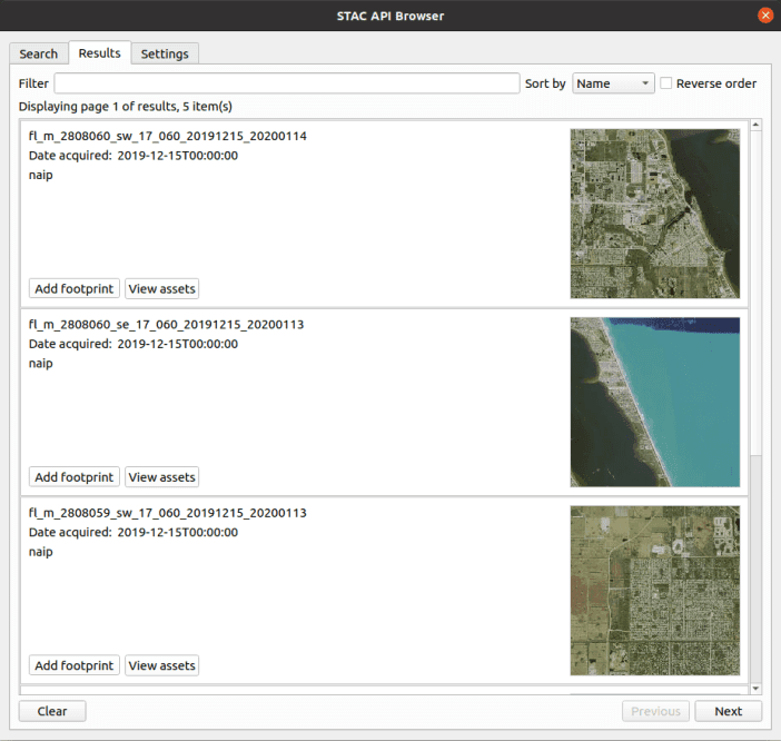
- You can now search and use any STAC API with QGIS. This plugin offers a comfortable way to browse the STAC API items and ability to add the STAC API assets as map layers into QGIS.
- This is a QGIS plugin which visualizes DEM and vector data in 3D on web browsers. You can build various kinds of 3D objects and generate files for web publishing with a simple procedure.
- This session is intended to introduce you to geocoding with practical examples. QGIS native tools and plugins, as well as QGIS Python API classes for geocoding will be considered.
- This video shows you how to use the STAC API Browser Plugin in QGIS to search for Sentinel-2 or Landsat images for an AOI and load the images as Cloud Optimized GeoTIFFs (COGs).
- PCRaster is a collection of software targeted at the development and deployment of spatio-temporal environmental models. Learn how to use it in QGIS and Python by following these video tutorials.
- GEE Time Series Exlorer is a QGIS plugin for interactive exploration of temporal raster data available via the Google Earth Engine (GEE) Data Catalog.
- The QGIS Earth Engine plugin integrates Google Earth Engine and QGIS using EE Python API. The user needs to have an active Google Earth Engine (EE) account to use the plugin. Learn more here.