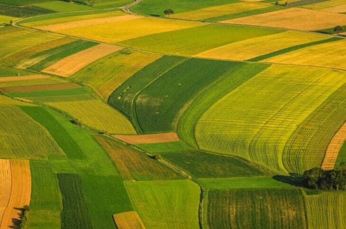
Sen4AgriNet is a harmonized multi-country, multi-temporal benchmark dataset for agricultural earth observation machine learning applications. Learn more here.
Deep-learning
- Here is a graph-in-graph (GiG) model and a related GiG convolutional network (GiGCN) for HSI classification from a superpixel viewpoint.
- In this tutorial, some of the basic features of TorchGeo are demonstrated. Check out how easy it is to use if you're already familiar with other PyTorch domain libraries like torchvision.
- Learn the key concepts of deep learning, with a focus on using deep learning methods, algorithms, models and techniques on a variety of spatial data including 3D, imagery and text.
- This article analyses the Airbus oil storage dataset which contains over 13,500 annotated POL (petroleum, oil and lubricant) storage objects. This dataset is used to train an oil storage detector.
- This is a single class dataset consisting of tiles of satellite imagery labeled with potential 'targets' to help with search and rescue.
- YOLTv5 rapidly detects objects in arbitrarily large aerial or satellite images that far exceed the ~600×600 pixel size typically ingested by deep learning object detection frameworks.
- ESRI has released 10 new pre-trained deep learning models to Living Atlas. These models are available as deep learning packages (DLPKs) that can be used with different ESRI products.
- This workflow generates automatic contours for agricultural parcels, given Sentinel-2 images. It uses Sentinel Hub to download the imagery and a ResUnet-a architecture.
- Determine the location of a given street view image by matching it against a collection of geo-tagged satellite images. Read more about it here.
