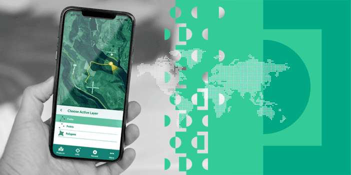
This webinar shows how the Input mobile app by Mergin Maps integrates into QGIS via the Mergin plugin. The app allows users to leverage QGIS forms to collect data, attach pictures, and more.
- This workflow generates automatic contours for agricultural parcels, given Sentinel-2 images. It uses Sentinel Hub to download the imagery and a ResUnet-a architecture.
- ArcGIS Online enables knowledge workers throughout an organization to discover, use, create, and share web maps and apps - anytime from anywhere. Enroll in this plan to understand its capabilities.
- PCRaster is a collection of software targeted at the development and deployment of spatio-temporal environmental models. Learn how to use it in QGIS and Python by following these video tutorials.
- Check out this tutorial analyzing data extracted from video footage of a football game using the MovingPandas library.
- Here is an advanced tutorial on how to create 3D OpenStreetMap city models with QGIS and Aerialod.
- Determine the location of a given street view image by matching it against a collection of geo-tagged satellite images. Read more about it here.
- This article demonstrates how to use the HERE discover service to find places using a location, the name of a chain or a category of a place, by a phone number, and places along a route.
- The Leaflet Storymaps code template is designed to guide readers along a point-by-point tour, with a scrolling narrative to display text, images, audio, video, and scanned map backgrounds.
- Here is a thorough ebook for learning GIS. Subjects include data visualization with QGIS, GIS and analysis tools, Earth observation and imagery analysis, and geospatial data processing.
