- Follow the instructions here to get started with PyQGIS development with Visual Studio Code on Windows.
- Learn how to add spreadsheet data to ArcGIS Online and publish it as a hosted feature layer.
- Read here about the new features in the latest ArcGIS CityEngine release.
- Have 5 minutes? Watch this how-to video to learn best practices to georeference imagery by adding control points in ArcGIS Pro.
- Check out the demo page for inkmap - a library for generating high resolution maps in the browser. All the examples also include code snippets.
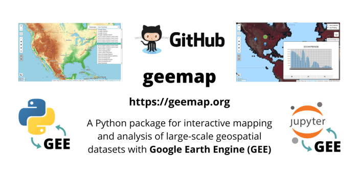
- The geemap package is built upon ipyleaflet and ipywidgets, and enables users to analyze and visualize Google Earth Engine datasets interactively within a Jupyter-based environment.
- Read here about how a new algorithm for repairing invalid polygons and multipolygons will affect the results of ST_MakeValid in PostGIS 3.2.
- Here is an interactive web application for creating time-lapses of annual Landsat imagery (from 1984 onward) for any location around the globe.
- Read about new exciting cartographic features in QGIS and how they'll improve your maps here.