For all you students and educators out there, here are some resources on ArcGIS StoryMaps. Check out the learning path 'Get to Know ArcGIS StoryMaps' for step-by-step tutorials.
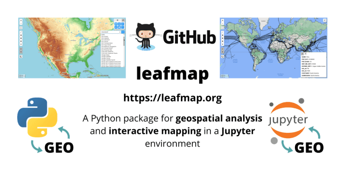
- The leafmap package is free and open-source, enabling users to analyze and visualize geospatial data with minimal coding in a Jupyter environment, such as Google Colab and Jupyter Notebook.
- If you have built a mapping application with an open source client API that uses the legacy ArcGIS Online tile services, then it's time to update to the new ArcGIS basemap layer service.
- Learn how to make geospatial data available on the web through a RESTful API using OGC API, pygeoapi and MongoDB.
- Kart is now available as a QGIS plugin. Work with version controlled data directly within your desktop GIS – see your data history, commit incremental changes and create and merge branches with ease.
- Input is a free and open source app designed to streamline the whole process behind geo-surveys.
- Carto for React is a toolkit of React templates, components and libraries for making geospatial apps easier. This tutorial from the CARTO team walks you through exactly how to use it.
- Here is an advanced tutorial on how to create 3D OpenStreetMap city models with QGIS and Aerialod.
- Would you like to see what the open source MapComponents can do? Check out the feature catalog.
- Looking to create extra pretty shaded relief or to start using Blender in your cartography projects? Make sure to check out this thorough tutorial.