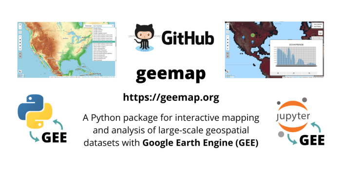
The geemap package is built upon ipyleaflet and ipywidgets, and enables users to analyze and visualize Google Earth Engine datasets interactively within a Jupyter-based environment.
Archive: Python
- Follow the instructions here to get started with PyQGIS development with Visual Studio Code on Windows.
- Learn spatial Python (Python basics, working with data, vector layers, rasters, ArcGIS Pro scripting) with this free book.
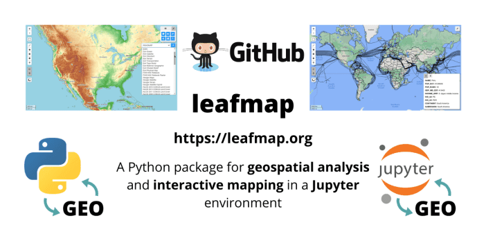
- The leafmap package is free and open-source, enabling users to analyze and visualize geospatial data with minimal coding in a Jupyter environment, such as Google Colab and Jupyter Notebook.
- Spyndex is a Python package that uses the spectral indices from the Awesome Spectral Indices list and allows computing indices with any Python object supporting overloaded operators.
- Have you ever wanted to generate your own river maps using Python and open source data? Well, look no further, here is a full tutorial on just that.
- Here is a tutorial teaching you how to generate your own flight path map using Python and open-source data.
- As you upload more and more assets to Google Earth Engine, managing this data becomes quite a cumbersome task. This blog post demonstrates using Python to help with some common data management tasks.
- The eemont package extends the Google Earth Engine Python API with pre-processing and processing tools for the most used satellite platforms by adding utility methods for Earth Engine Objects.