Geo How-tos
How-tosToolsTagsArchiveAbout
How-tos
Tools
Tags
Archive
About

Archive: Python

Browse all archive tags →
  • easystac: A Python Package for Simple STAC Queries
    March 26, 2022

    easystac: A Python Package for Simple STAC Queries

    ↗ External
    easystacstacpythonplanetary-computerradiant-mlhubgoogle-earth-engine
    Easystac is a Python package that provides users of STAC objects as well as clients from Planetary Computer and Radiant ML Hub with an API to query, explore and convert STAC assets to xarray objects.
  • eemont: A Python Package That Extends Google Earth Engine
    March 9, 2022

    eemont: A Python Package That Extends Google Earth Engine

    ↗ External
    eemontgoogle-earth-enginepythonremote-sensing
    The eemont package extends the Google Earth Engine Python API with pre-processing and processing tools for the most used satellite platforms by adding utility methods for Earth Engine Objects.
  • Working and Visualizing Lidar Data in Python
    March 2, 2022

    Working and Visualizing Lidar Data in Python

    ↗ External
    lidarlaspythonlaspyopen3dtutorials
    This blog post will teach you an easy way to ingest, manipulate, and visualize Lidar data in Python.
  • Managing Google Earth Engine Assets Using the GEE Python API
    February 24, 2022

    Managing Google Earth Engine Assets Using the GEE Python API

    ↗ External
    google-earth-enginepythondata-management
    As you upload more and more assets to Google Earth Engine, managing this data becomes quite a cumbersome task. This blog post demonstrates using Python to help with some common data management tasks.
  • Mapping the World's Flight Paths With Python
    February 19, 2022

    Mapping the World's Flight Paths With Python

    ↗ External
    pythongeopandasshapelydata-visualization
    Here is a tutorial teaching you how to generate your own flight path map using Python and open-source data.
  • Creating Beautiful River Maps With Python
    January 22, 2022

    Creating Beautiful River Maps With Python

    ↗ External
    pythongeopandasdata-visualizationhydrologytutorials
    Have you ever wanted to generate your own river maps using Python and open source data? Well, look no further, here is a full tutorial on just that.
  • spyndex: Awesome Spectral Indices in Python
    January 20, 2022

    spyndex: Awesome Spectral Indices in Python

    ↗ External
    spyndexspectral-indicespythonremote-sensing
    Spyndex is a Python package that uses the spectral indices from the Awesome Spectral Indices list and allows computing indices with any Python object supporting overloaded operators.
  • leafmap: A Python Package for Geospatial Analysis and Interactive Mapping
    December 28, 2021

    leafmap: A Python Package for Geospatial Analysis and Interactive Mapping

    ↗ External
    leafmappythonjupyterdata-visualizationdata-processing
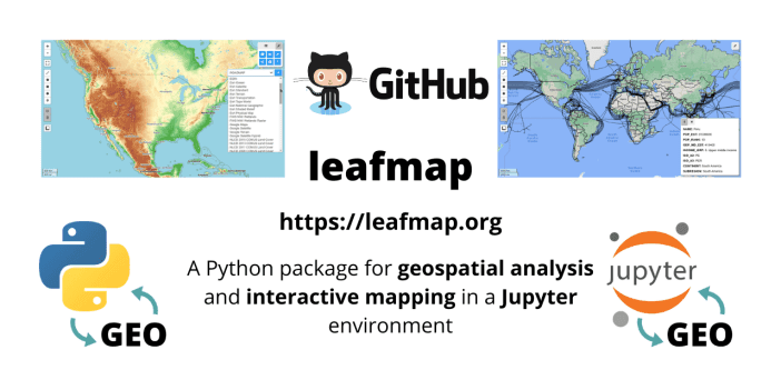
    The leafmap package is free and open-source, enabling users to analyze and visualize geospatial data with minimal coding in a Jupyter environment, such as Google Colab and Jupyter Notebook.
  • Free Course: Introduction to Spatial Data Programming With Python
    December 5, 2021

    Free Course: Introduction to Spatial Data Programming With Python

    ↗ External
    coursespythonarcgis-pro
    Learn spatial Python (Python basics, working with data, vector layers, rasters, ArcGIS Pro scripting) with this free book.
  • How to Set Up PyQGIS3 With VSCode and Python on Windows
    November 9, 2021

    How to Set Up PyQGIS3 With VSCode and Python on Windows

    ↗ External
    pyqgisvs-codepythonwindowssoftware-setup
    Follow the instructions here to get started with PyQGIS development with Visual Studio Code on Windows.
Previous5 of 6Next
Previous123456Next
Geo How-tos
•
© 2025