Geo How-tos
How-tosToolsTagsArchiveAbout
How-tos
Tools
Tags
Archive
About

Archive: Qgis

Browse all archive tags →
  • ee-cptcity: Color Palette Module for Google Earth Engine
    March 6, 2022

    ee-cptcity: Color Palette Module for Google Earth Engine

    ↗ External
    qgisgrass-gissaga-gisarcgis-prodata-visualization
    Those who are users of QGIS, GRASS, SAGA or ArcGIS, can now use color palettes from the same applications in Google Earth Engine with the help of the ee-cpticity module.
  • March 5, 2022

    QGIS Workshop With Short Videos

    ↗ External
    qgisworkshopsgetting-started
    Here is a QGIS workshop that covers some of the most common workflows and tools for desktop GIS users. It also includes short videos that help understand how the tools can be used.
  • Online Mini Workshop: Annotation Layers in QGIS
    February 19, 2022

    Online Mini Workshop: Annotation Layers in QGIS

    ↗ External
    qgisannotationscartographyvideo-tutorials
    Curious about annotations in QGIS? Check out this deep-dive workshop.
  • Using PostGIS and pg_featureserv With QGIS
    January 31, 2022

    Using PostGIS and pg_featureserv With QGIS

    ↗ External
    pg_featureservqgispostgisogc-apitutorials
    Recent versions of QGIS support using the OGC API for Features as a vector data source. Learn how to publish spatial data with pg_featureserv using this protocol and add the layer to QGIS.
  • How to Create Relative Elevation Models (REMs) in QGIS
    January 31, 2022

    How to Create Relative Elevation Models (REMs) in QGIS

    ↗ External
    qgistopographyhydrologytutorialsdata-visualization
    Here is a set of tutorials for building relative elevation models (REMs) in QGIS, creating beautiful visualizations of the results and exporting the images.
  • QGIS Plugin for Reading STAC APIs
    January 26, 2022

    QGIS Plugin for Reading STAC APIs

    ↗ External
    stacqgisqgis-plugins
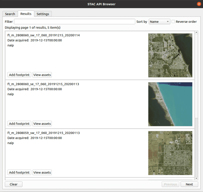
    You can now search and use any STAC API with QGIS. This plugin offers a comfortable way to browse the STAC API items and ability to add the STAC API assets as map layers into QGIS.
  • QGIS GeoNode Plugin
    January 13, 2022

    QGIS GeoNode Plugin

    ↗ External
    qgisgeonodeqgis-plugins
    QGIS GeoNode plugin, that allows working with and managing GeoNode resources in QGIS, is now published in QGIS plugins repository.
  • Run AI-Mapping in QGIS Over High-Resolution Satellite Imagery
    December 30, 2021

    Run AI-Mapping in QGIS Over High-Resolution Satellite Imagery

    ↗ External
    qgisqgis-pluginsaiimagery
    The MapFlow plugin for QGIS provides AI models for automatic feature extraction from satellite imagery, including building footprints, roads, fields, forest and construction sites.
  • Kart: QGIS Python Plugins Repository
    December 19, 2021

    Kart: QGIS Python Plugins Repository

    ↗ External
    qgisqgis-plugins
    Kart is now available as a QGIS plugin. Work with version controlled data directly within your desktop GIS – see your data history, commit incremental changes and create and merge branches with ease.
  • Guide to 3D OSM City Models: Trier
    December 12, 2021

    Guide to 3D OSM City Models: Trier

    ↗ External
    3dqgisaerialodtutorials
    Here is an advanced tutorial on how to create 3D OpenStreetMap city models with QGIS and Aerialod.
Previous4 of 5Next
Previous12345Next
Geo How-tos
•
© 2025